Appendix K – Protected Views Reports
The Neighbourhood Plan Steering Group identified 14 views in the parish which it felt were of significant importance and worthy of protection. These were put forward in the Neighbourhood Plan parish consultation which took place between April and June 2024. There was support from parishioners for the selection of views with 25% of respondents commenting specifically. The view of the parish church from The Street in Albury village and views from and towards Newlands Corner accounted for 17% of supportive comments made. The views selected can be found in the AECOM Design Guidance Report and are as follows:
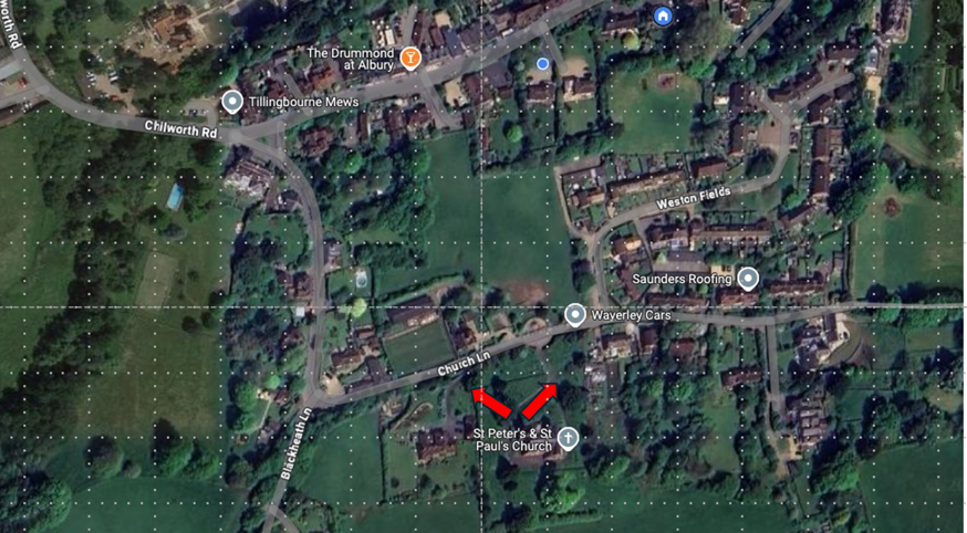
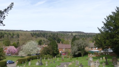
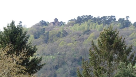
- From immediately outside Albury Parish Church of St Peter and St Paul in Church Lane, northwest towards St Martha’s church, north towards Newlands Corner and northeast towards Ranmore Common.
The parish church of St Peter and St Paul is set high on a hill on the south side of Church Lane. It is clearly visible from the distant views within the parish and from outside the western side of the church it affords unobstructed views towards St Martha’s church on St Martha’s hill. This church, which dates back to the 12th century and was rebuilt 1848-1850 is on the Pilgrim’s Way and on the 18th highest hill in Surrey and is only accessible by foot. Still in use, it is a beautiful and much appreciated local landmark.
Newlands Corner is due north of St Peter’s and St Paul church and extends from White Lane across the north downs to the A25. Newlands Corner is a 250-acre site rising to 173m and is one of the most popular visitor sites in Surrey for its walking and views.
Looking northeast from St Peter and St Paul Ranmore Common is clearly visible and joins the escarpment with Newlands Corner to form the North Downs Way. The view from St Peter and St Paul’s church offers panoramic and uninterrupted views of St Martha’s, Newlands Corner and Ranmore Common as one vista.
Source: Google Maps
View to St Martha’s View towards Ranmore in the East
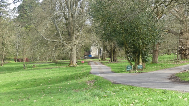
- The “Old Saxon Church” formerly the parish church of St Peter and St Paul.
The Old Saxon Church was for almost 2000 years the parish church for Albury. It is situated in Albury Park, is Grade 1 Listed. There remains a great affection in the community for this beautiful old church. It is now in the care of the Churches Conservation Trust but there is an active community group The Friends of the Old Saxon Church, who fundraise for its upkeep, organize community events and provide daily maintenance for the church which is open daily. There are community services in the church twice yearly including a Christmas carol service. The church is also significant to visitors to the parish from the Catholic Apostolic church who visit to view the burial chapel of Henry Drummond. The church is situated close to Albury Mansion and close to where the original village of Albury was situated. The view is from the approach road into Albury Park looking towards the church with the mansion next to it.
**** Source: Google Maps
View towards Old Saxon Church from Albury Park
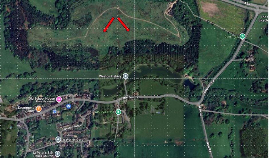
- Viewing platform at former SUEZ landfill site towards Albury Parish church of St Peter and St Paul.
The site was originally used for the extraction of sand and clay and in 1957 two acres was approved for sand working. In 1980 this area was designated as a landfill site. It was a controversial decision for parishioners as it was a prominent and ugly site, clearly visible on the north downs close to Newlands Corner and the ancient Weston Wood. Pollution, smell, unsightliness and excess movements of heavy lorries blighted the area and in 1989 planning permission for the extraction of minerals was passed with the restoration of all existing and proposed work sites. Condition 23 stated that the site “shall be returned to a condition suitable for forestry at ground levels as to facilitate natural drainage and permit the carrying out of normal forestry operations.” Sadly, financial considerations overrode SITA’s original obligations to return the site to forestry with community access, not least because the ground was considered unstable and too polluted for tree planting. Access to the community was denied and the only access to view the outstanding view south towards Albury village is from the SITA viewing platform.
The installation of this platform was warmly received by parishioners.
Source: Google Maps
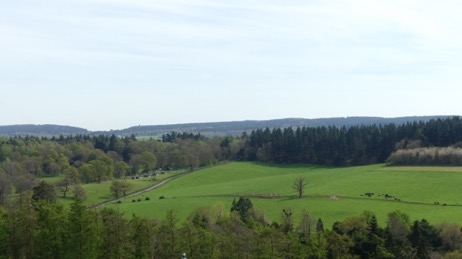
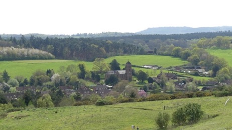
Albury village from viewing platform. Sherbourne from viewing platform
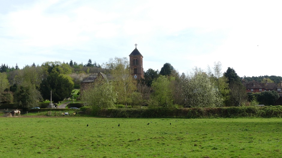
- The parish church of St Peter and St Paul as viewed from The Street Albury across Malcolm’s Field.
The parish church has significant value to residents of Albury village as it was commissioned by Henry Drummond for parishioners when Albury village was moved from its previous site in Albury Park to the village of Weston where it resides today. The church was a replacement for the former parish church (now known as the Old Saxon Church) for villagers to use. It is Grade II Listed, was designed by McIntosh Brooks and built in 1841. It stands on a hill that overlooks the village and there is a clear view of it across the only open field close to The Street-Malcolm’s Field.
**** Source: Google Maps
View towards St Peter and St Paul church from The Street in Albury village
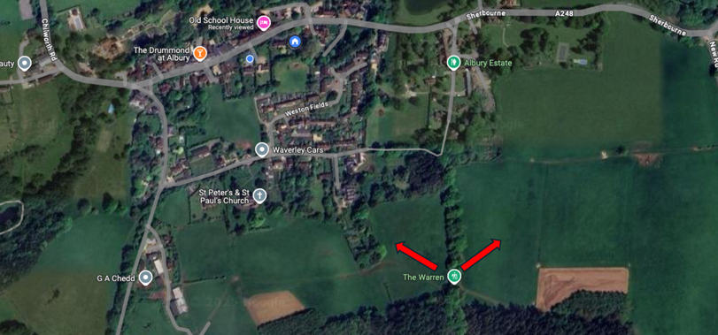
- The Warren Albury (at field gates) in 2 directions towards St Martha’s Hill and Ranmore Common (2 views).
The Warren in Albury climbs steeply south out of Church Lane in Albury village up to Albury Heath. Part way up this sunken lane which is a Regionally Important Geological/Geomorphological Site (RIGS), are 2 field gates which afford views north east towards St Martha’s Hill and church and Newlands Corner, whilst the other has views of the north downs towards Ranmore Common. Both views are far reaching and uninterrupted.
Source: Google Maps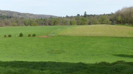
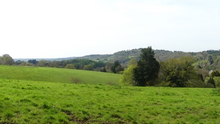
View towards St Martha’s due West View towards Ranmore in the East
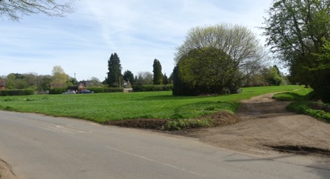
- The entrance to Farley Green from the north (from Brook Hill) and from the south (from August Lane).
Farley Green has been designated a Local Green Space in the Neighbourhood Plan as being of significant value to the community. It is an open piece of land at the entrance to the main settlement of Farley Green.
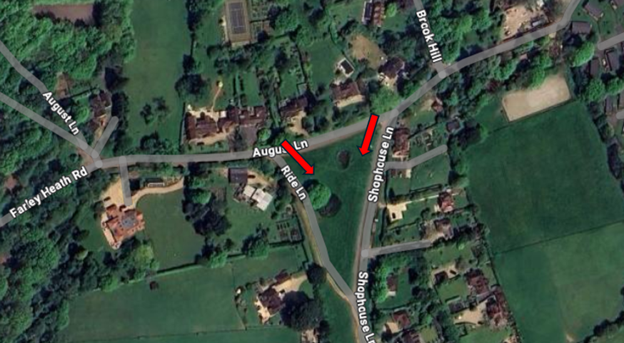
Source: Google Maps
****
View of Farley Green from Brook Hill View of Farley Green from August Lane
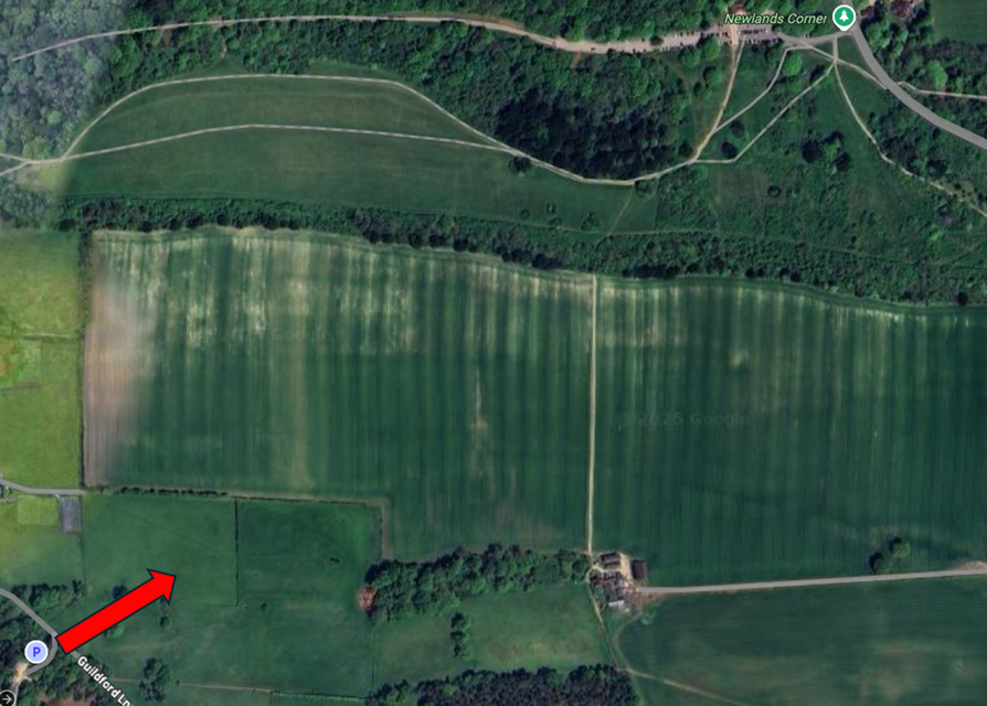
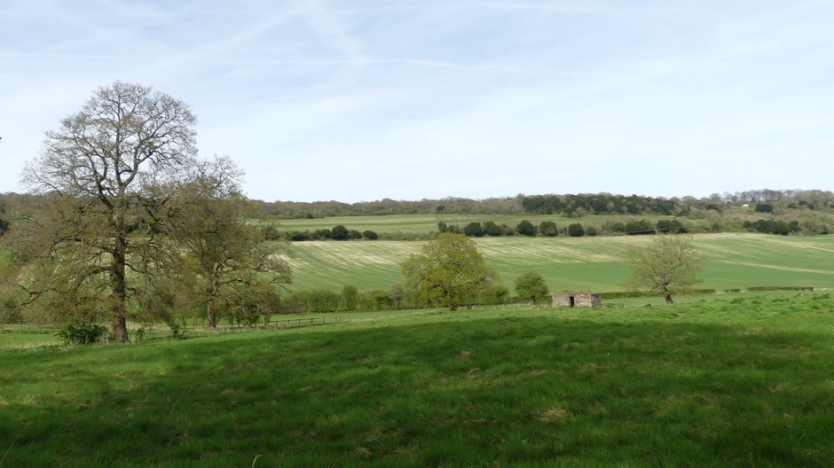
- Guildford Lane towards Newlands Corner and the north Downs from St Martha’s car park.
This view offers uninterrupted views toward Newlands Corner and the north Downs in a northeast direction from Guildford Lane at the point it meets St Martha’s car park.
Source: Google Maps
View of Newlands Corner from St Martha’s car park
- Newlands Corner, south of the A25 looking south-east from Newlands Corner car park towards Albury village.
Newlands Corner is one of the most popular and highest viewing points in Surrey and affords open and uninterrupted views towards the South Downs. The view is panoramic and unspoilt. It is a site that contains an ancient barrow and forms part of the Pilgrims Way. The views towards the parish Church of St Peter and St Paul are of particular significance to parishioners.
Source: Google Maps
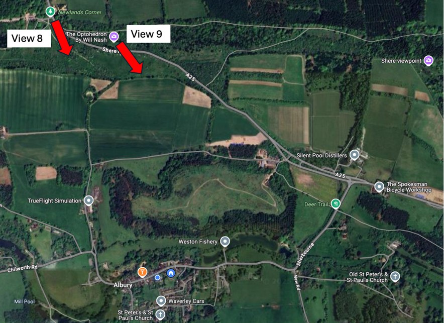
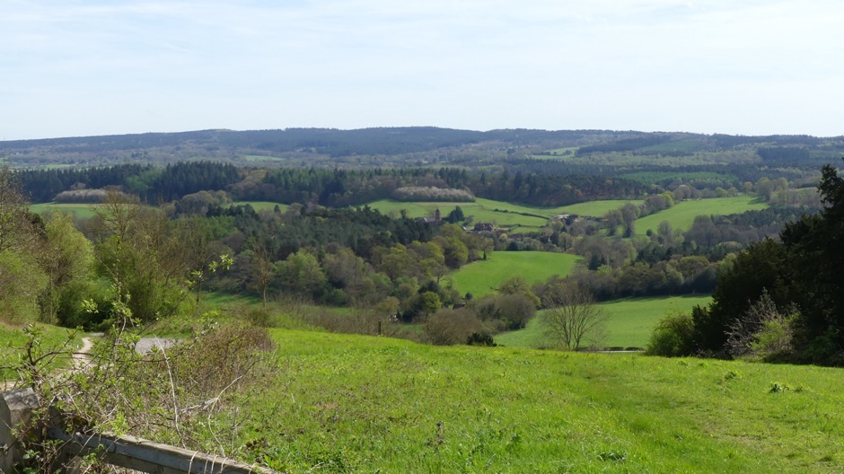
View of Albury village taken from Newlands Corner car park
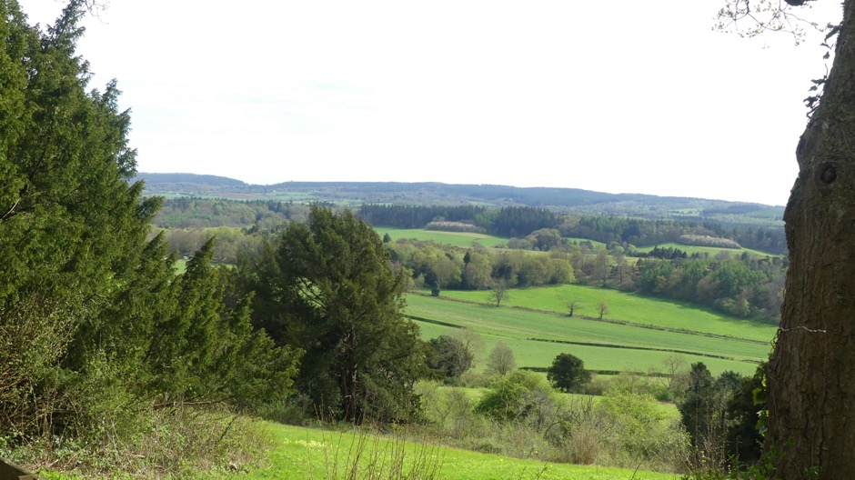
- Newlands Corner, south and west of the A25 from the North Downs Way looking south-east towards Albury village.
This view is similar to view 8 but taken from further west and offers a wider vista of one of Surrey’s most iconic views.
View of Albury village taken from Newlands Corner viewing area on North Downs Way
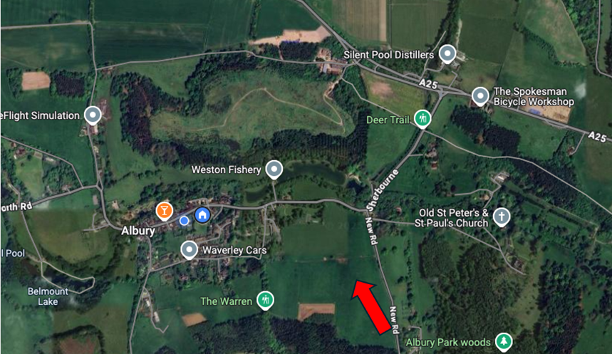
- The top of New Road hill towards the North Downs and Newlands Corner. This view is from the hill that faces the Newlands Corner ridge and North Downs.
It is a beautiful open vista since the former SITA return of landfill site to open countryside.
Source: Google Maps
View of Newlands Corner and North Downs taken from New Road
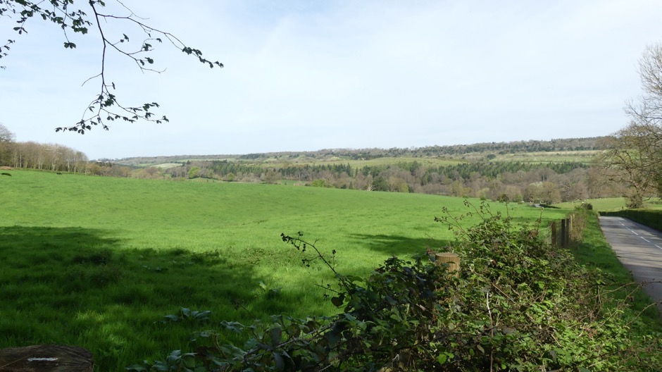
- Park Road at the South Lodge bend down the footpath towards Shere and the North Downs.
This is an open view down the hill towards the picturesque village of Shere with the north Downs in the background. The hill down towards Shere is a very popular walk using the footpath.
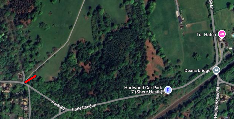
Source: Google Maps
View from footpath at South Lodge towards Shere and North Downs
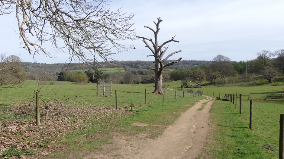
- The Catholic Apostolic Chapel from Sherbourne Farm and Sherbourne.
The Catholic Apostolic Chapel is a building of significant historic interest in the parish. Grade II Listed it contains the Rose window designed by Augustus Welby Pugin when the building was commissioned by Henry Drummond in 1839 to be the meeting house for the 12 Apostles of his newly formed Catholic Apostolic faith. The building today is maintained in trust and though not open to the public is visited by tourists who continue to follow the Catholic Apostolic faith. It is also a prominent building on the approach to Albury village.
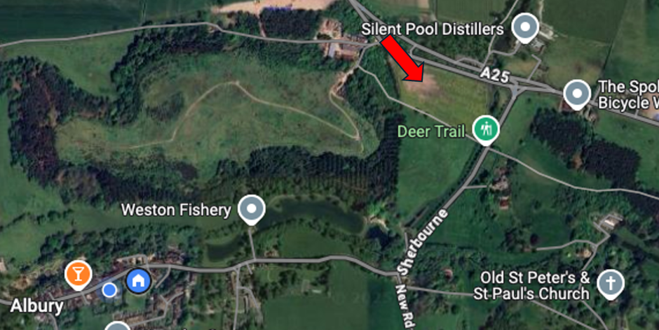 **
** Source: Google Maps
View of Apostolic Chapel from A25 at Silent Pool
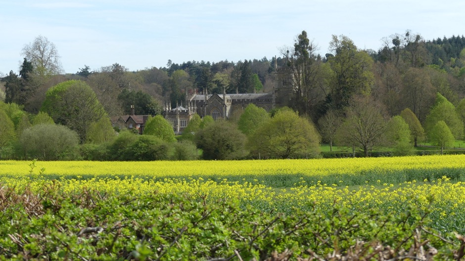
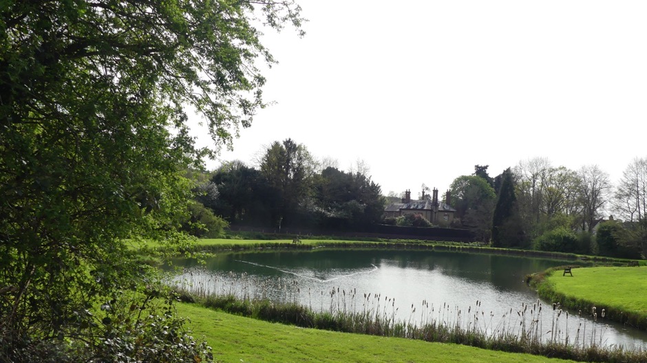
- Weston Pond towards Albury village at Bourne End.
This is the gateway to Albury fisheries and offers views towards Albury village and some of the iconic Pugin chimneys that are a special feature of the village.
**** Source: Google Maps
View from Albury Fisheries to Albury village
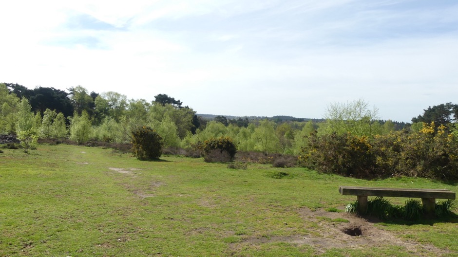
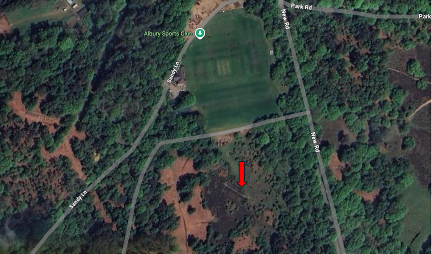
- From the Totem pole on Albury Heath towards the South Downs.
This view from the top of Albury Heath offers open views towards the South Downs. It is located close to Albury Sports club which is the only sports club in the parish and where the Albury Produce Show is held annually.
 **** Source: Google Maps
View Totem pole at Albury Heath looking towards the South Downs